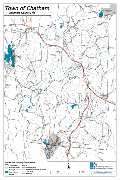
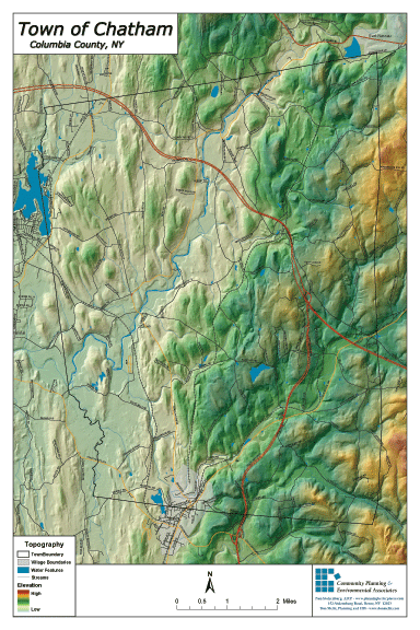
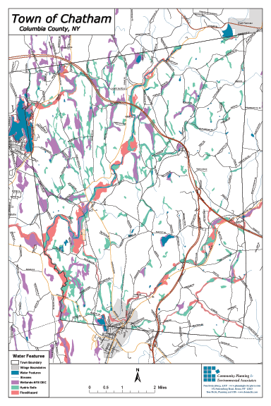
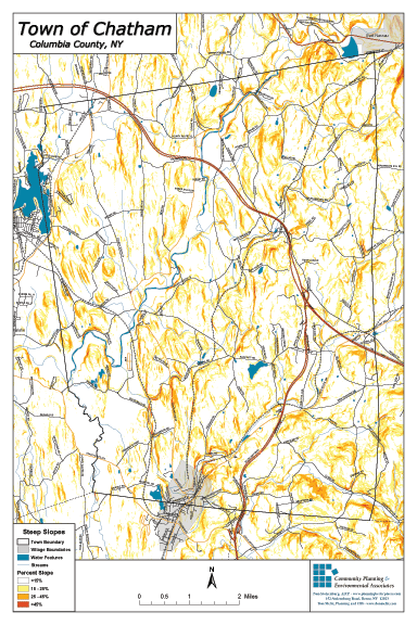
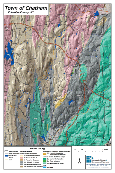
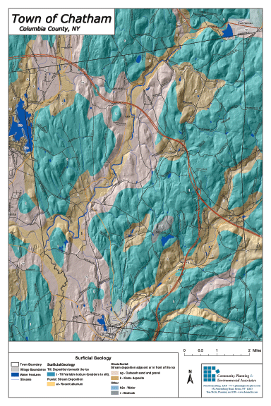
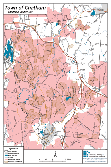
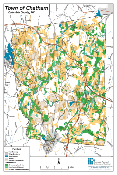
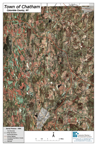
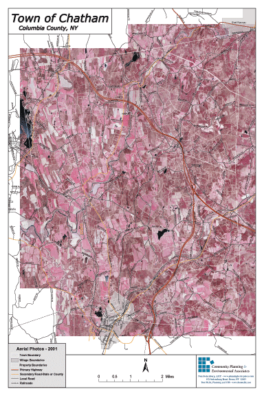
These GIS (geographical information system) maps have been created as part of the Town of Chatham’s comprehensive planning process. Most of the maps have a legend at the bottom that will help you interpret the information.
The maps help us get a more complete picture of the complex relationship between farming, soil quality, geology, water features, topology, current land use, and other key variables of the agricultural landscape. A complete set of these maps will soon be available at the Chatham Town Hall.